ADDITIONAL SERVICES
Specialized UAV
Capabilities
Beyond our primary service lines, Compass UAV offers a range of specialized aerial capabilities for inspection, environmental monitoring, thermal analysis, and advanced sensing applications.
Thermal Imaging
Multispectral Sensing
Close-Range Inspection
Visual Inspection
High-Resolution
Close-Range Inspection
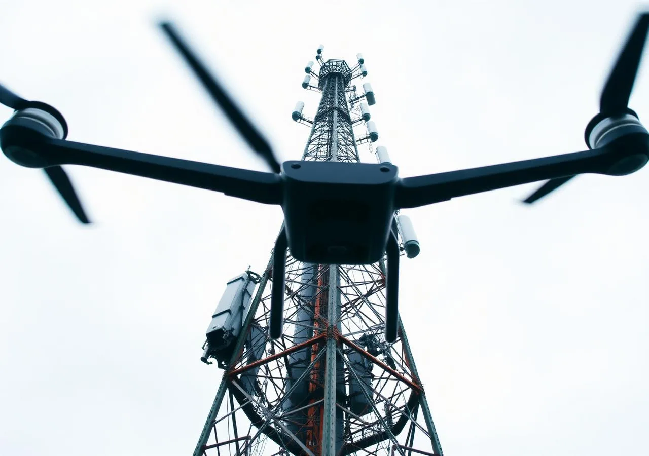
Drones equipped with high-zoom, stabilized cameras can capture centimetre-level detail on structures that would require costly scaffolding, rope access, or traffic disruption to inspect by traditional means.
Our close-range inspection workflow delivers high-resolution still imagery and video, annotated condition reports, and photogrammetric surface models — giving your engineers the documentation they need to plan maintenance or assess structural condition.

Annotated Condition Reports
Deficiency locations, photographs, and severity ratings compiled in a structured engineering report.
Zero Traffic Disruption
Design and deploy inspection operations without lane closures, detours, or road occupancy permits.
No Access Equipment
Eliminate scaffolding, rope access, and snoopers — reducing cost, schedule risk, and safety exposure.
THERMAL IMAGING
Aerial Thermal Mapping
Radiometric thermal cameras reveal what visible light cannot — detecting heat anomalies in structures, equipment, and infrastructure at scale and without access risk.
Building Envelope Surveys
Identify air leakage, moisture infiltration, and insulation deficiencies in commercial and institutional buildings.
Electrical & Mechanical Faults
Detect overheating components in electrical switchgear, motors, and industrial equipment before failure.
Solar Panel Performance
Identify underperforming or defective panels across large solar installations quickly and non-invasively.
Pipeline & Vessel Integrity
Locate anomalous temperature signatures indicating leaks, blockages, or wall thinning in above-ground piping.
Wildfire & Environmental Risk
Map surface temperature anomalies and hotspot detection in fire risk or post-fire assessment contexts.
Infrastructure Heat Loss
District energy, data centre, and utility facility thermal loss documentation for efficiency planning.
ADVANCED SENSING
Partner-Enabled
Capabilities
Through our network of specialist sensor partners, we can mobilize advanced payload capabilities for projects that require more than standard imaging.
Gas Detection
Methane, VOC, and other gas plume mapping using drone-mounted electrochemical and PID sensor payloads. Used in pipeline leak detection, landfill monitoring, and industrial site assessments.
Hyperspectral
Imaging
Detailed spectral data collection for environmental research, precision agriculture, contamination mapping, and material classification beyond what standard multispectral cameras can resolve.
Water Sampling
Remote water sample collection from drone-deployed grab samplers in hazardous, inaccessible, or contaminated water bodies — reducing field crew exposure and improving sample location precision.
LiDAR +
Thermal Fusion
Combined LiDAR point cloud and thermal imagery co-registration for building energy modelling, infrastructure condition monitoring, and complex facility assessments requiring both geometric and thermal data.
Advanced sensor deployments are scoped individually. Contact us to discuss feasibility and logistics for your project.
AGRICULTURE
Crop Health &
Agricultural Monitoring
Multispectral drone surveys give Ontario producers and agronomists detailed, timely data on crop health, field variability, and drainage conditions — at a fraction of the cost of satellite imagery, and with far greater ground resolution and scheduling flexibility.
NDVI Mapping
Multispectral Analysis
Field Scouting Support
Yield Zone Mapping
Drainage & Ponding
Research Plot Monitoring
FAQ
Common Questions
What structures can be inspected by drone?
Typical targets include bridges, towers, building façades and roofs, dams, communication infrastructure, pipelines, storage tanks, solar farms, and wind turbines.
What thermal deliverables are available?
Deliverables can include radiometric TIFF files, annotated thermal maps, anomaly logs, and co-registered visible-light imagery processed with calibrated emissivity and atmospheric correction.
Can inspections avoid lane closures or access equipment?
Many close-range inspections can be completed without lane closures, scaffolding, rope access, or snoopers, depending on the site, airspace, and safety requirements.
Do you offer multispectral agricultural surveys?
Yes. Capabilities include NDVI mapping, red-edge and near-infrared analysis, field scouting, yield-zone mapping, drainage assessment, and research-plot monitoring.
Can multiple sensor types be combined?
Yes. Partner-enabled deployments can combine LiDAR and thermal imagery for work requiring both geometric and temperature information.
How are unusual sensing projects scoped?
Advanced sensor deployments are scoped individually. Feasibility, payload requirements, site logistics, airspace, data outputs, and the safest practical approach are reviewed before mobilization.
GET STARTED
Have a Specialized Project?
Not every project fits a standard service line. Book a free consultation to discuss your specific requirements — we’ll be direct about what’s feasible and what the right approach is.
Book a Free Consultation